McKenzie Intelligence Services (MIS), a specialist in geospatial intelligence and insurance technology, has launched a new AI damage classifier.
This new tool, which marks a significant enhancement to MIS’ Global Events Observer (GEO) platform, aims to provide insurers with improved human intelligence-led damage assessments after any catastrophic event.
Go deeper with GlobalData


Access deeper industry intelligence
Experience unmatched clarity with a single platform that combines unique data, AI, and human expertise.
MIS said that its new product also aligns with the 2024 Lloyd’s Market Geospatial Service programme and addresses major client feedback.
The AI damage classifier, said to be the first in the market, enables insurers to expedite incident and claims responses and refine their portfolio loss analysis, including terms of the insurance policy.
Following the launch of the new AI tool, the GEO platform now incorporates AI to augment the damage assessment process, offering insights with unprecedented speed and accuracy compared with other solutions available in the market.
To ensure the utmost precision in property damage evaluation, MIS’ team of military-trained intelligence experts will also manually assess the impacted properties using diverse data sources such as aerial, satellite and ground-based imagery.
MIS has optimised the delivery of property-level insights via GEO’s Exposure and Claims Layers, providing global, rapid, multi-peril assessments.
This includes determining the extent of damage to affected properties, which is now faster than before.
According to MIS, the combination of AI assistance and human intelligence not only enhances insurers’ event response capabilities but also increases the speed and efficiency of claims triage, leading to cost reductions.
The advancements in GEO’s capabilities also empower insurers to make more informed decisions post-catastrophe, revolutionising their catastrophe team responses.
With the actionable intelligence provided, insurers can understand portfolio exposures even before the first notice of loss, reduce potential fraud, expedite the payment of valid claims and improve the policyholder experience.
MIS stated that GEO serves as a comprehensive event response solution for reinsurers, responders, loss adjusters and government agencies.
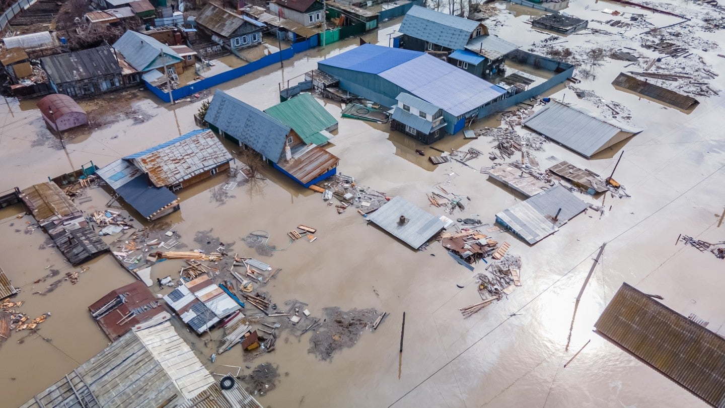
It securely houses client risk portfolios and leverages multiple data sources to deliver rapid, precise and near real-time detailed intelligence for modelled and non-modelled catastrophic incidents such as hurricanes, floods, wildfires and earthquakes.