
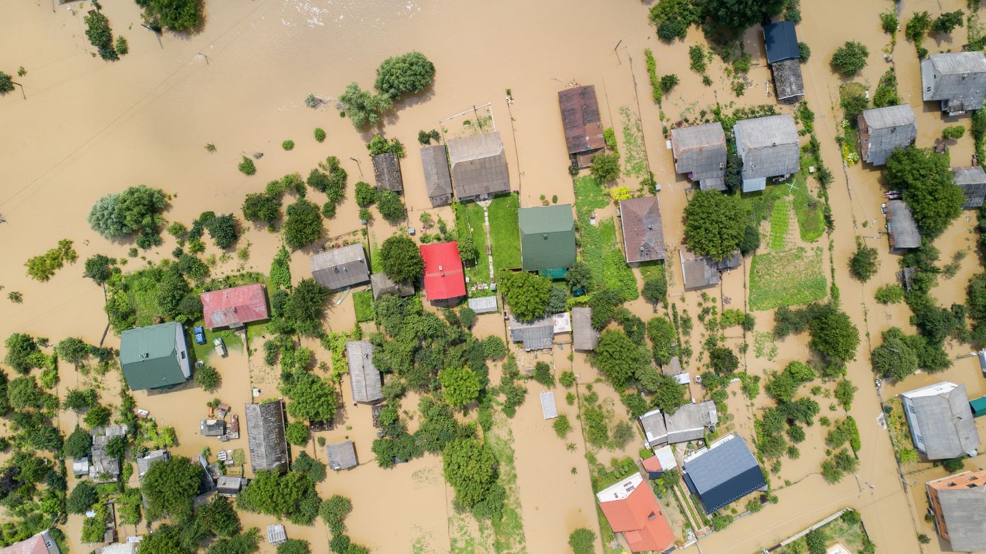
Floodbase, an AI platform for flood risk monitoring and insurance, has introduced a new technology for real-time flood mapping across the US.
The latest addition provides up-to-date information on flooding, aiding stakeholders including government bodies, insurance companies and the media.
Go deeper with GlobalData


Access deeper industry intelligence
Experience unmatched clarity with a single platform that combines unique data, AI, and human expertise.
The technology utilises AI and additional sensors to deliver improved accuracy in mapping floods as they happen, detecting and tracking the progression of flash floods.
This real-time mapping solution is designed to support essential activities during flood events, such as evaluating damage, processing insurance claims and issuing parametric insurance payouts, the company said.
It also aims to improve communication with those affected by providing frequent updates and verified data on the extent of floods, whether they impact a single locality or multiple states.
Floodbase’s technology is integral to various flood insurance programmes in US local governments, which have implemented municipal flood insurance initiatives.
Floodbase co-founder and chief science officer Beth Tellman said: “Our goal is to give insurers, governments, the media and anyone on the front lines of flood response greater confidence in the exact location and severity of flooding through consistent, near real-time flood extent data.
“With an above-average Atlantic hurricane season predicted, we hope this technology expands flood coverage and strengthens disaster response.”
In April, Floodbase partnered with Yokahu to offer an automated parametric flood insurance product for commercial entities in New Orleans.